| Item Detail |
| |
| |
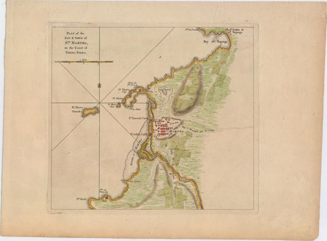
MapMaker: |
Thomas Jefferys
|
|
| |
| |
Subject: |
Santa Marta, Colombia |
|
| |
Period/Size: |
1762 / 8.6" x 9.5" (21.9 x 24.2 cm)
|
|
| |
Color: |
Colored
|
|
| |
Condition: |
(B+) A nice impression on watermarked paper with minor toning and a small abrasion just outside of the neatline at top left. There is a tiny tear in bottom blank margin, far from map. (condition help) |
|
| |
Source: |
A Description of the Spanish Islands and Settlements ģ West Indies |
|
| |
References: |
Shirley (BL Atlases) M.JEF-3a #4. |
|
| |
|
|
| Sales Information |
| |
| |
Price: |
|
|
| |
| |
Offered by: |
Old World Auctions |
|
| |
Catalog: |
Auction No. 153 - Antique Maps, Charts, Atlases & Globes (9276) |
|
| |
Lot/Item #: |
409 |
|
| |
| |
Date: |
05/2015
|
|
| |
| |
|