Title:
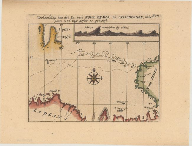
“Verbeelding hoe het ys van Nova Zemla na Spitsbergen, in den Jaare 1676 Vast Geset is Geweest”
Map Maker:
Nicolaas Witsen
Nicolaas Witsen (1641-1717) was a Dutchman who was... (full text available to subscribers)
| Item Detail |
| |
| |
MapMaker: |
Nicolaas Witsen
|
|
| |
| |
Subject: |
Arctic Ocean, Barents Sea |
|
| |
Period/Size: |
1705 / 5.2" x 6.9" (13.2 x 17.6 cm)
|
|
| |
Color: |
Colored
|
|
| |
Condition: |
(A) A clean, bright example on watermarked paper with marginal soiling. (condition help) |
|
| |
Source: |
Noord en Oost Tartarye |
|
| |
References: |
|
|
| |
|
|
| Sales Information |
| |
| |
Price: |
|
|
| |
| |
Offered by: |
Old World Auctions |
|
| |
Catalog: |
Auction No. 153 - Antique Maps, Charts, Atlases & Globes (9276) |
|
| |
Lot/Item #: |
435 |
|
| |
| |
Date: |
05/2015
|
|
| |
| |
|
Antique Maps - Valuation and Pricing, Descriptions, Resources |
|
Home |
Information |
Search |
Register |
Contact Us |
Site Map
Americana Exchange, Inc. © 1999 - 2024 Americana Exchange, Inc.. All rights reserved.
OldMaps.com, the OldMaps.com logo and
AMPR are service marks or registered service marks of Americana Exchange, Inc..
|