Title:
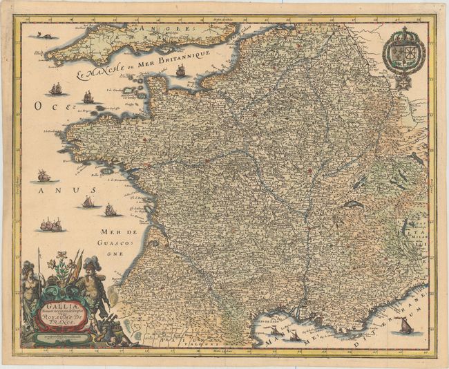
“Galliae Nova et Accurata Descriptio Vulgo Royaume de France”
Map Maker:
Matthaus Merian
This is a reduced version of Jan Jansson's map of ... (full text available to subscribers)
| Item Detail |
| |
| |
MapMaker: |
Matthaus Merian
|
|
| |
| |
Subject: |
France |
|
| |
Period/Size: |
1655 / 12.6" x 15.8" (32.0 x 40.2 cm)
|
|
| |
Color: |
Colored
|
|
| |
Condition: |
(A) Issued folding on watermarked paper with a few faint spots and remnants of hinge tape on verso. There is marginal toning and a few small worm holes in the top blank margin. (condition help) |
|
| |
Source: |
|
|
| |
References: |
|
|
| |
|
|
| Sales Information |
| |
| |
Price: |
|
|
| |
| |
Offered by: |
Old World Auctions |
|
| |
Catalog: |
Auction No. 153 - Antique Maps, Charts, Atlases & Globes (9276) |
|
| |
Lot/Item #: |
487 |
|
| |
| |
Date: |
05/2015
|
|
| |
| |
|
Antique Maps - Valuation and Pricing, Descriptions, Resources |
|
Home |
Information |
Search |
Register |
Contact Us |
Site Map
Americana Exchange, Inc. © 1999 - 2024 Americana Exchange, Inc.. All rights reserved.
OldMaps.com, the OldMaps.com logo and
AMPR are service marks or registered service marks of Americana Exchange, Inc..
|