Title:
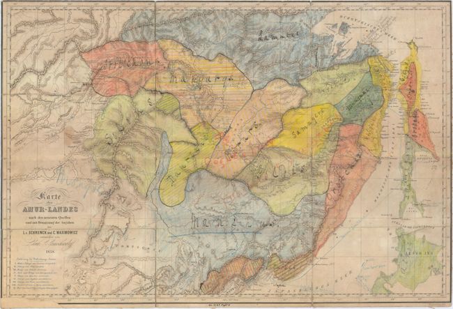
“Karte des Amur-Landes nach den Neuesten Quellen und mit Benutzung der Angaben”
Map Maker:
Manuscript Maps
This map by Schrenck, Maximowicz and Lamochwaloff ... (full text available to subscribers)
| Item Detail |
| |
| |
MapMaker: |
Manuscript Maps
|
|
| |
| |
Subject: |
Eastern Asia |
|
| |
Period/Size: |
1858 / 13.9" x 20.9" (35.3 x 53.1 cm)
|
|
| |
Color: |
Colored
|
|
| |
Condition: |
(C+) Backed with linen to reinforce and repair numerous short fold separations with two areas of minute loss at fold intersections. Much of the map has been shaded with colored pencil along with numerous manuscript notations in the image. Trimmed to the (condition help) |
|
| |
Source: |
|
|
| |
References: |
|
|
| |
|
|
| Sales Information |
| |
| |
Price: |
|
|
| |
| |
Offered by: |
Old World Auctions |
|
| |
Catalog: |
Auction No. 153 - Antique Maps, Charts, Atlases & Globes (9276) |
|
| |
Lot/Item #: |
661 |
|
| |
| |
Date: |
05/2015
|
|
| |
| |
|
Antique Maps - Valuation and Pricing, Descriptions, Resources |
|
Home |
Information |
Search |
Register |
Contact Us |
Site Map
Americana Exchange, Inc. © 1999 - 2024 Americana Exchange, Inc.. All rights reserved.
OldMaps.com, the OldMaps.com logo and
AMPR are service marks or registered service marks of Americana Exchange, Inc..
|