| Item Detail |
| |
| |
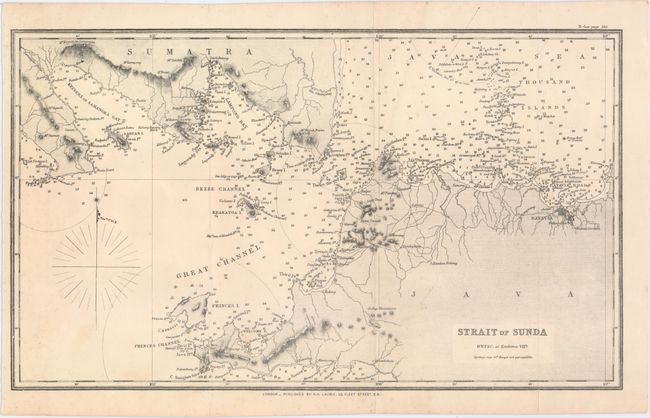
MapMaker: |
Richard Holmes Laurie
|
|
| |
| |
Subject: |
Sunda Strait, Indonesia |
|
| |
Period/Size: |
1825 / 8.6" x 14.4" (21.9 x 36.6 cm)
|
|
| |
Color: |
Black & White
|
|
| |
Condition: |
(B+) Issued folding with faint scattered foxing and a few short fold separations at bottom, one of which just enters the image, and all of which have been closed on verso with archival tape. (condition help) |
|
| |
Source: |
|
|
| |
References: |
|
|
| |
|
|
| Sales Information |
| |
| |
Price: |
|
|
| |
| |
Offered by: |
Old World Auctions |
|
| |
Catalog: |
Auction No. 153 - Antique Maps, Charts, Atlases & Globes (9276) |
|
| |
Lot/Item #: |
676 |
|
| |
| |
Date: |
05/2015
|
|
| |
| |
|