| Item Detail |
| |
| |
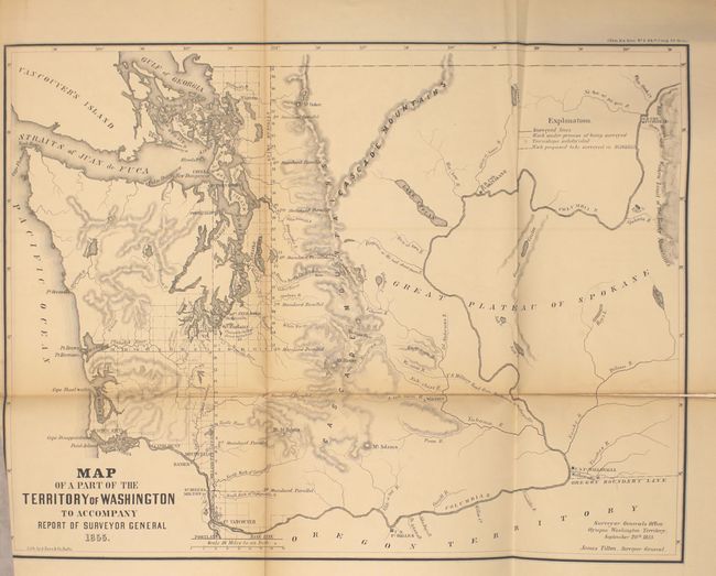
MapMaker: |
U.S. Government
|
|
| |
| |
Subject: |
Exploration & Surveys |
|
| |
Period/Size: |
1856 / 11.9" x 8.8" (30.3 x 22.4 cm)
|
|
| |
Color: |
Black & White
|
|
| |
Condition: |
(B+) The maps are very good with light toning along the folds. Three maps have fold separations, including the map of Florida (2.3" at left), the map of the Red River (2" at top), and the map of the Territory of Washington (3" at right). Title page and (condition help) |
|
| |
Source: |
Sen Ex. Doc. 1, 34th Cong., 1st Sess. |
|
| |
References: |
|
|
| |
|
|
| Sales Information |
| |
| |
Price: |
|
|
| |
| |
Offered by: |
Old World Auctions |
|
| |
Catalog: |
Auction No. 153 - Antique Maps, Charts, Atlases & Globes (9276) |
|
| |
Lot/Item #: |
773 |
|
| |
| |
Date: |
05/2015
|
|
| |
| |
|