| Item Detail |
| |
| |
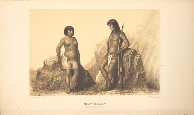
MapMaker: |
Balden Mollhausen
|
|
| |
| |
Subject: |
Exploration & Surveys |
|
| |
Period/Size: |
1862 / 9.1" x 5.8" (23.2 x 14.8 cm)
|
|
| |
Color: |
Colored
|
|
| |
Condition: |
(A) Plates and text are clean, bright and near fine. One plate has light offsetting from the opposing page of text. The map has a few faint spots in the image and light toning along sheet edges. The spine is sunned and the edges are bumped. (condition help) |
|
| |
Source: |
|
|
| |
References: |
Howes #M713; cf. Wagner-Camp #305:1; cf. Wheat (TMW) #955. |
|
| |
|
|
| Sales Information |
| |
| |
Price: |
|
|
| |
| |
Offered by: |
Old World Auctions |
|
| |
Catalog: |
Auction No. 153 - Antique Maps, Charts, Atlases & Globes (9276) |
|
| |
Lot/Item #: |
774 |
|
| |
| |
Date: |
05/2015
|
|
| |
| |
|