| Item Detail |
| |
| |
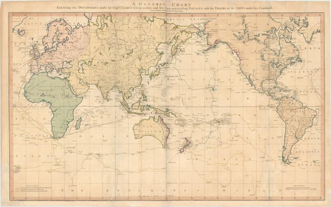
MapMaker: |
William Faden
|
|
| |
| |
Subject: |
World |
|
| |
Period/Size: |
1784 / 21.2" x 35.4" (53.9 x 90.0 cm)
|
|
| |
Color: |
Colored
|
|
| |
Condition: |
(B) Full original color with a couple of extraneous creases and light toning and soiling. Issued folding with archival repairs to several short fold separations, a tear that enters 6" into map southwest of Australia, and a number of short tears along the (condition help) |
|
| |
Source: |
|
|
| |
References: |
Perry & Prescott 1800.04; cf. Wagner (NW) #699. |
|
| |
|
|
| Sales Information |
| |
| |
Price: |
|
|
| |
| |
Offered by: |
Old World Auctions |
|
| |
Catalog: |
Auction No. 154 - Antique Maps, Charts, Atlases & Globes (9277) |
|
| |
Lot/Item #: |
28 |
|
| |
| |
Date: |
09/2015
|
|
| |
| |
|