| Item Detail |
| |
| |
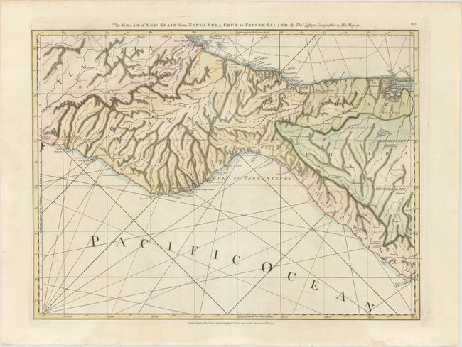
MapMaker: |
Thomas Jefferys
|
|
| |
| |
Subject: |
Southern Mexico |
|
| |
Period/Size: |
1775 / 18.6" x 25.1" (47.3 x 63.8 cm)
|
|
| |
Color: |
Colored
|
|
| |
Condition: |
(B+) Sturdy, watermarked paper with attractive color and light offsetting. There are faint damp stains confined to the bottom blank margin, resulting in some tiny tears along the edge of the sheet. (condition help) |
|
| |
Source: |
The West Indian Atlas |
|
| |
References: |
Shirley (BL Atlases) M.JEF-4a #15. |
|
| |
|
|
| Sales Information |
| |
| |
Price: |
|
|
| |
| |
Offered by: |
Old World Auctions |
|
| |
Catalog: |
Auction No. 154 - Antique Maps, Charts, Atlases & Globes (9277) |
|
| |
Lot/Item #: |
303 |
|
| |
| |
Date: |
09/2015
|
|
| |
| |
|