| Item Detail |
| |
| |
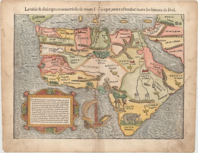
MapMaker: |
Sebastian Munster
|
|
| |
| |
Subject: |
Africa |
|
| |
Period/Size: |
1552 / 10.1" x 13.8" (25.7 x 35.1 cm)
|
|
| |
Color: |
Colored
|
|
| |
Condition: |
(B+) A nice impression with attractive color, minor soiling, and professional repairs to short centerfold separations confined to the blank margins. (condition help) |
|
| |
Source: |
Cosmographia |
|
| |
References: |
Betz #3, variant 10; Norwich #2; Tooley (MCC-29) #10. |
|
| |
|
|
| Sales Information |
| |
| |
Price: |
|
|
| |
| |
Offered by: |
Old World Auctions |
|
| |
Catalog: |
Auction No. 155 - Antique Maps, Charts, Atlases & Globes (9278) |
|
| |
Lot/Item #: |
663 |
|
| |
| |
Date: |
11/2015
|
|
| |
| |
|