| Item Detail |
| |
| |
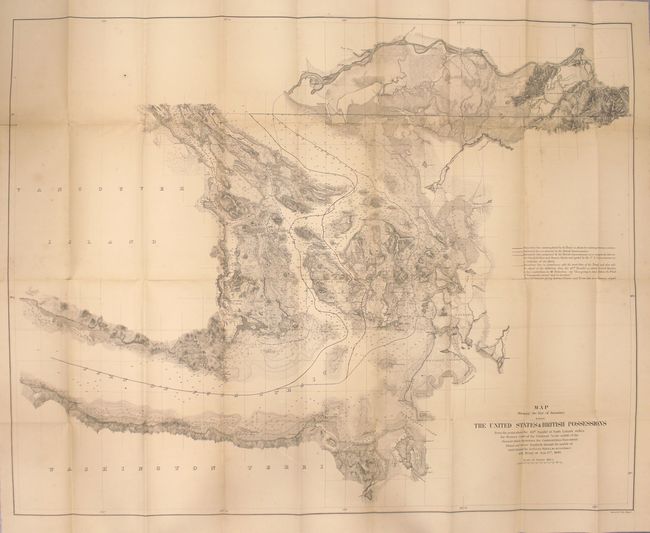
MapMaker: |
U.S. Government
|
|
| |
| |
Subject: |
Canada & United States |
|
| |
Period/Size: |
1868 / 28.2" x 36.1" (71.7 x 91.7 cm)
|
|
| |
Color: |
Black & White
|
|
| |
Condition: |
(B) Map is lightly toned with a few spots of foxing and several short splits at fold intersections mostly closed on verso with archival tape. Minor tape repairs in the left blank margin. Text is clean and bright. (condition help) |
|
| |
Source: |
Sen. Ex. Doc. 29, 40th Congress, 2nd Session |
|
| |
References: |
Phillips (Maps) p. 898. |
|
| |
|
|
| Sales Information |
| |
| |
Price: |
|
|
| |
| |
Offered by: |
Old World Auctions |
|
| |
Catalog: |
Auction No. 154 - Antique Maps, Charts, Atlases & Globes (9277) |
|
| |
Lot/Item #: |
94 |
|
| |
| |
Date: |
09/2015
|
|
| |
| |
|