| Item Detail |
| |
| |
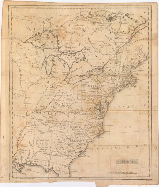
MapMaker: |
Arthur J. Stansbury
|
|
| |
| |
Subject: |
Eastern United States & Canada |
|
| |
Period/Size: |
1805 / 15.9" x 13.0" (40.4 x 33.1 cm)
|
|
| |
Color: |
Black & White
|
|
| |
Condition: |
(B) Issued folding with light to moderate offsetting and a short binding tear at bottom closed on verso with archival tape. (condition help) |
|
| |
Source: |
|
|
| |
References: |
Old World Auctions - State of Franklin Maps #21. |
|
| |
|
|
| Sales Information |
| |
| |
Price: |
|
|
| |
| |
Offered by: |
Old World Auctions |
|
| |
Catalog: |
Auction No. 154 - Antique Maps, Charts, Atlases & Globes (9277) |
|
| |
Lot/Item #: |
104 |
|
| |
| |
Date: |
09/2015
|
|
| |
| |
|