Title:
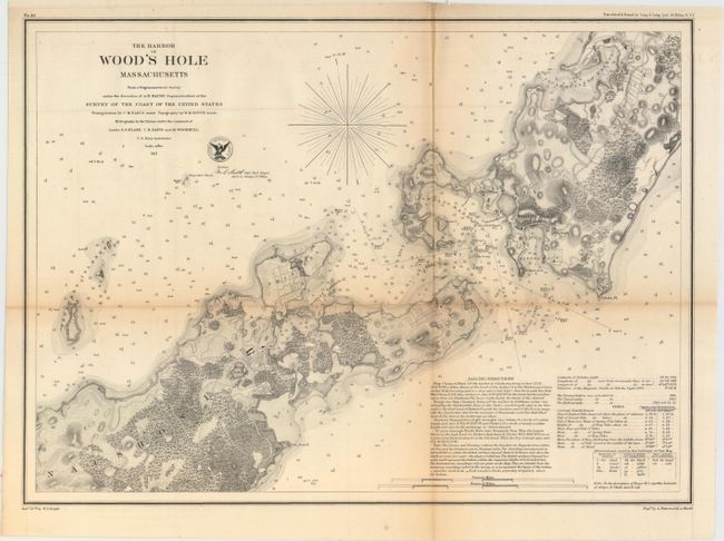
“The Harbor of Wood's Hole Massachusetts from a Trigonometrical Survey Under the Direction of A.D. Bache...”
Map Maker:
U.S. Coast Survey
This attractive chart produced by the Coast Survey... (full text available to subscribers)
| Item Detail |
| |
| |
MapMaker: |
U.S. Coast Survey
|
|
| |
| |
Subject: |
Cape Cod, Massachusetts |
|
| |
Period/Size: |
1857 / 12.6" x 17.4" (32.0 x 44.2 cm)
|
|
| |
Color: |
Black & White
|
|
| |
Condition: |
(B) Issued folding and now flattened and backed with tissue. There is toning along the folds and one tiny fold separation that has been repaired on verso. (condition help) |
|
| |
Source: |
|
|
| |
References: |
|
|
| |
|
|
| Sales Information |
| |
| |
Price: |
|
|
| |
| |
Offered by: |
Old World Auctions |
|
| |
Catalog: |
Auction No. 154 - Antique Maps, Charts, Atlases & Globes (9277) |
|
| |
Lot/Item #: |
230 |
|
| |
| |
Date: |
09/2015
|
|
| |
| |
|
Antique Maps - Valuation and Pricing, Descriptions, Resources |
|
Home |
Information |
Search |
Register |
Contact Us |
Site Map
Americana Exchange, Inc. © 1999 - 2024 Americana Exchange, Inc.. All rights reserved.
OldMaps.com, the OldMaps.com logo and
AMPR are service marks or registered service marks of Americana Exchange, Inc..
|