| Item Detail |
| |
| |
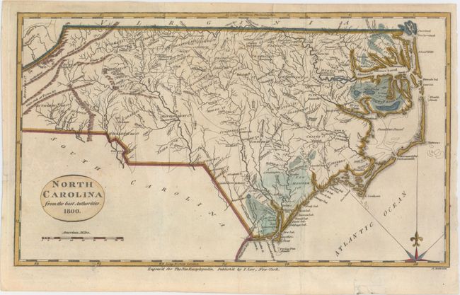
MapMaker: |
Esther Prentiss. Lowe
|
|
| |
| |
Subject: |
North Carolina |
|
| |
Period/Size: |
1800 / 7.4" x 12.7" (18.8 x 32.3 cm)
|
|
| |
Color: |
Colored
|
|
| |
Condition: |
(B+) Issued folding, now pressed, with archival repairs to a tiny tear in the western portion of the state, a short fold separation, and a tear that enters 1" into map at bottom right. (condition help) |
|
| |
Source: |
The New Encyclopaedia... |
|
| |
References: |
|
|
| |
|
|
| Sales Information |
| |
| |
Price: |
|
|
| |
| |
Offered by: |
Old World Auctions |
|
| |
Catalog: |
Auction No. 154 - Antique Maps, Charts, Atlases & Globes (9277) |
|
| |
Lot/Item #: |
253 |
|
| |
| |
Date: |
09/2015
|
|
| |
| |
|