| Item Detail |
| |
| |
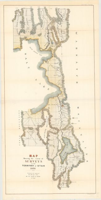
MapMaker: |
David H. Burr
|
|
| |
| |
Subject: |
Utah |
|
| |
Period/Size: |
1856 / 32.7" x 15.7" (83.1 x 39.9 cm)
|
|
| |
Color: |
Colored
|
|
| |
Condition: |
(B+) Issued folding, now pressed, and backed in tissue to repair a 4" tear in an unengraved area at right, several long fold separations, and numerous small holes along the folds, with minor loss of image. Remargined at top to accommodate framing. (condition help) |
|
| |
Source: |
Sen. Ex. Doc. No. 5, 34th Congress, 3rd Sess. |
|
| |
References: |
|
|
| |
|
|
| Sales Information |
| |
| |
Price: |
|
|
| |
| |
Offered by: |
Old World Auctions |
|
| |
Catalog: |
Auction No. 154 - Antique Maps, Charts, Atlases & Globes (9277) |
|
| |
Lot/Item #: |
273 |
|
| |
| |
Date: |
09/2015
|
|
| |
| |
|