| Item Detail |
| |
| |
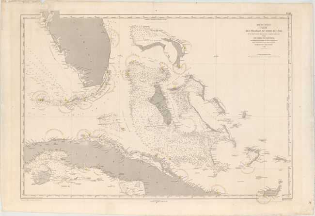
MapMaker: |
Depot de la Marine
|
|
| |
| |
Subject: |
Bahamas, Cuba, & Southern Florida |
|
| |
Period/Size: |
1874 / 25.9" x 36.0" (65.8 x 91.5 cm)
|
|
| |
Color: |
Colored
|
|
| |
Condition: |
(A) A fine impression on a watermarked sheet with original hand color marking lighthouses and some small, unobtrusive worm holes in the map image. There are some small chips and short edge tears in the blank margins, well away from map image. (condition help) |
|
| |
Source: |
|
|
| |
References: |
|
|
| |
|
|
| Sales Information |
| |
| |
Price: |
|
|
| |
| |
Offered by: |
Old World Auctions |
|
| |
Catalog: |
Auction No. 154 - Antique Maps, Charts, Atlases & Globes (9277) |
|
| |
Lot/Item #: |
327 |
|
| |
| |
Date: |
09/2015
|
|
| |
| |
|