| Item Detail |
| |
| |
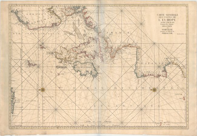
MapMaker: |
Jacques Nicolas Bellin
|
|
| |
| |
Subject: |
North Atlantic, Western & Northern Europe |
|
| |
Period/Size: |
1753 / 23.7" x 33.8" (60.2 x 85.9 cm)
|
|
| |
Color: |
Colored
|
|
| |
Condition: |
(B+) On a sturdy watermarked sheet with minor toning, faint soiling, a couple of printer's creases along the centerfold, and a few tiny holes that are only visible when held up to light. There are manuscript notations to the right of the centerfold and a (condition help) |
|
| |
Source: |
Le Neptune Francois… |
|
| |
References: |
Pastoureau, NEPTUNE FRANCAIS C #1. |
|
| |
|
|
| Sales Information |
| |
| |
Price: |
|
|
| |
| |
Offered by: |
Old World Auctions |
|
| |
Catalog: |
Auction No. 154 - Antique Maps, Charts, Atlases & Globes (9277) |
|
| |
Lot/Item #: |
393 |
|
| |
| |
Date: |
09/2015
|
|
| |
| |
|