Title:
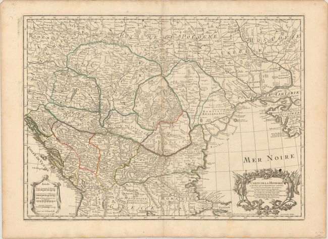
“Carte de la Hongrie et des Pays qui en Dependoient Autrefois Dressee sur un Grand Nombre de Memoirea...”
Map Maker:
Delisle/Dezauche
This handsome map covers the region between the Gu... (full text available to subscribers)
| Item Detail |
| |
| |
MapMaker: |
Delisle/Dezauche
|
|
| |
| |
Subject: |
Central Balkans |
|
| |
Period/Size: |
1780 / 18.6" x 25.6" (47.3 x 65.1 cm)
|
|
| |
Color: |
Colored
|
|
| |
Condition: |
(B+) Original outline color on watermarked paper with minor toning along the centerfold and a small ink stain above the title cartouche. There are short centerfold separations in the top and bottom blank margins. (condition help) |
|
| |
Source: |
Atlas Geographique et Universelģ |
|
| |
References: |
|
|
| |
|
|
| Sales Information |
| |
| |
Price: |
|
|
| |
| |
Offered by: |
Old World Auctions |
|
| |
Catalog: |
Auction No. 154 - Antique Maps, Charts, Atlases & Globes (9277) |
|
| |
Lot/Item #: |
553 |
|
| |
| |
Date: |
09/2015
|
|
| |
| |
|
Antique Maps - Valuation and Pricing, Descriptions, Resources |
|
Home |
Information |
Search |
Register |
Contact Us |
Site Map
Americana Exchange, Inc. © 1999 - 2024 Americana Exchange, Inc.. All rights reserved.
OldMaps.com, the OldMaps.com logo and
AMPR are service marks or registered service marks of Americana Exchange, Inc..
|