| Item Detail |
| |
| |
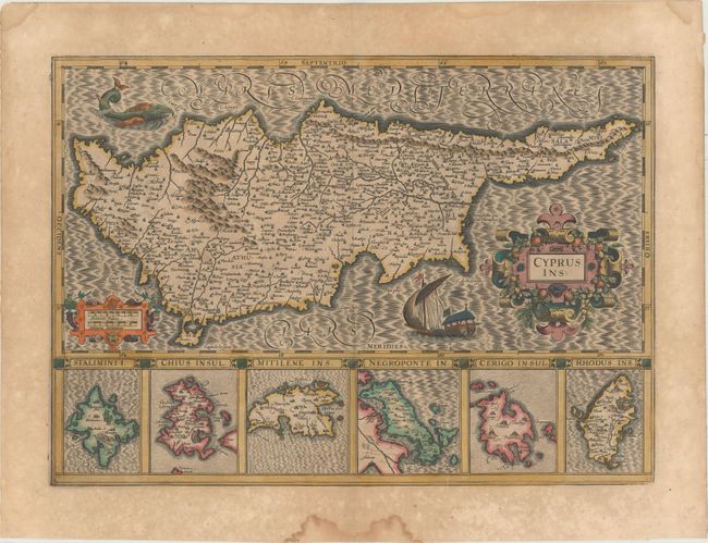
MapMaker: |
Jodocus Hondius
|
|
| |
| |
Subject: |
Cyprus |
|
| |
Period/Size: |
1619 / 13.9" x 19.4" (35.3 x 49.3 cm)
|
|
| |
Color: |
Colored
|
|
| |
Condition: |
(B+) A dark impression with full original color, light toning, and scattered foxing primarily confined to the blank margins. There are several damp stains in the blank margins, far from the image. (condition help) |
|
| |
Source: |
Gerardi Mercatoris - Atlas sive Cosmographicae |
|
| |
References: |
Stylianou, pp. 83-85, 290; Van der Krogt (Vol. I) #8130:1A. |
|
| |
|
|
| Sales Information |
| |
| |
Price: |
|
|
| |
| |
Offered by: |
Old World Auctions |
|
| |
Catalog: |
Auction No. 154 - Antique Maps, Charts, Atlases & Globes (9277) |
|
| |
Lot/Item #: |
596 |
|
| |
| |
Date: |
09/2015
|
|
| |
| |
|