| Item Detail |
| |
| |
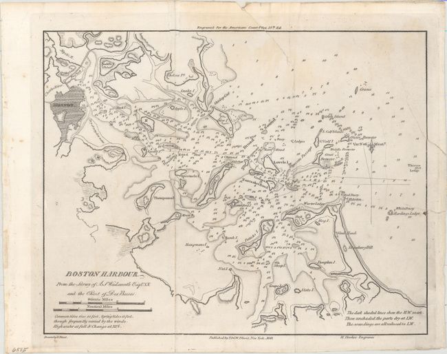
MapMaker: |
Blunt [Family]
|
|
| |
| |
Subject: |
Boston, Massachusetts |
|
| |
Period/Size: |
1847 / 8.2" x 10.3" (20.9 x 26.2 cm)
|
|
| |
Color: |
Black & White
|
|
| |
Condition: |
(B) Issued folding and now pressed and backed with tissue to reinforce and repair a small chip that just enters the border at top, a tear that enters 1.5" at top, and another tear that extends 1.5" into the image at right. Light extraneous creasing and m (condition help) |
|
| |
Source: |
American Coast Pilot |
|
| |
References: |
|
|
| |
|
|
| Sales Information |
| |
| |
Price: |
|
|
| |
| |
Offered by: |
Old World Auctions |
|
| |
Catalog: |
Auction No. 155 - Antique Maps, Charts, Atlases & Globes (9278) |
|
| |
Lot/Item #: |
269 |
|
| |
| |
Date: |
11/2015
|
|
| |
| |
|