| Item Detail |
| |
| |
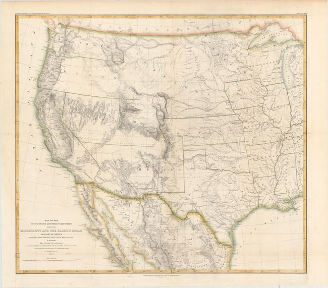
MapMaker: |
William Hemsley Emory
|
|
| |
| |
Subject: |
Western United States & Mexico |
|
| |
Period/Size: |
1857-58 / 20.2" x 22.8" (51.3 x 58.0 cm)
|
|
| |
Color: |
Colored
|
|
| |
Condition: |
(B+) Issued folding with faint scattered foxing, minor offsetting, one tiny split at a fold intersection, and two short edge tears confined to the blank margins closed on verso with archival tape. (condition help) |
|
| |
Source: |
United States & Mexican Boundary Survey |
|
| |
References: |
Wheat (TMW) #916. |
|
| |
|
|
| Sales Information |
| |
| |
Price: |
|
|
| |
| |
Offered by: |
Old World Auctions |
|
| |
Catalog: |
Auction No. 155 - Antique Maps, Charts, Atlases & Globes (9278) |
|
| |
Lot/Item #: |
330 |
|
| |
| |
Date: |
11/2015
|
|
| |
| |
|