| Item Detail |
| |
| |
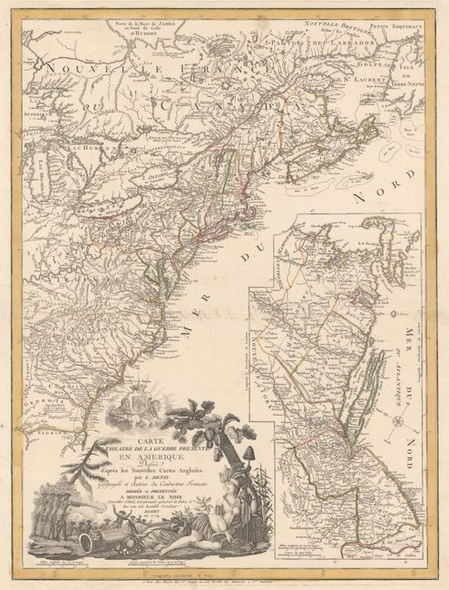
MapMaker: |
Louis Denis
|
|
| |
| |
Subject: |
Colonial Eastern United States & Canada |
|
| |
Period/Size: |
1779 / 26.3" x 19.8" (66.8 x 50.3 cm)
|
|
| |
Color: |
Colored
|
|
| |
Condition: |
(B+) Printed on sturdy paper with wide original margins and original outline color. The centerfold has been professionally repaired on verso and there are additional professional repairs to some tears confined to the blank margins. There are a couple mi (condition help) |
|
| |
Source: |
|
|
| |
References: |
McCorkle #779.6; cf. Nebenzahl (Biblio) #192; Sellers & van Ee #737. |
|
| |
|
|
| Sales Information |
| |
| |
Price: |
|
|
| |
| |
Offered by: |
Old World Auctions |
|
| |
Catalog: |
Auction No. 157 - Antique Maps, Charts, Atlases & Globes (9290) |
|
| |
Lot/Item #: |
134 |
|
| |
| |
Date: |
05/2016
|
|
| |
| |
|