| Item Detail |
| |
| |
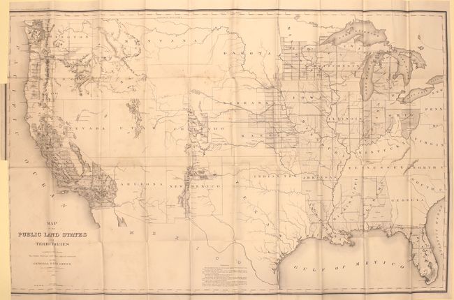
MapMaker: |
General Land Office
|
|
| |
| |
Subject: |
United States |
|
| |
Period/Size: |
1865 / 28.3" x 44.6" (71.9 x 113.3 cm)
|
|
| |
Color: |
Black & White
|
|
| |
Condition: |
(B) Trimmed to inside the neatline at left with two 2" binding tears closed on verso with archival tape. There is light scattered foxing, a hint of offsetting, and a few tiny splits at fold intersections. (condition help) |
|
| |
Source: |
Annual Report of the Commissioner General Land Office |
|
| |
References: |
Phillips (Maps) p. 914. |
|
| |
|
|
| Sales Information |
| |
| |
Price: |
|
|
| |
| |
Offered by: |
Old World Auctions |
|
| |
Catalog: |
Auction No. 157 - Antique Maps, Charts, Atlases & Globes (9290) |
|
| |
Lot/Item #: |
152 |
|
| |
| |
Date: |
05/2016
|
|
| |
| |
|