| Item Detail |
| |
| |
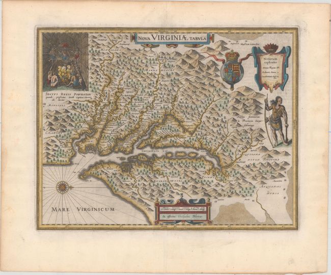
MapMaker: |
Hondius/Blaeu
|
|
| |
| |
Subject: |
Colonial Mid-Atlantic United States |
|
| |
Period/Size: |
1643 / 14.8" x 18.9" (37.6 x 48.0 cm)
|
|
| |
Color: |
Colored
|
|
| |
Condition: |
(A) Excellent impression and color on watermarked paper with very wide margins. There is minor toning along the edges of the sheet. Remnants of hinge tape on verso. (condition help) |
|
| |
Source: |
Theatre du Monde ou Nouvel Atlas |
|
| |
References: |
Burden #193; Portinaro & Knirsch KXXIV; Tooley (Amer) p. 161-62; Van der Krogt (Vol. II) #9410:2.2. |
|
| |
|
|
| Sales Information |
| |
| |
Price: |
|
|
| |
| |
Offered by: |
Old World Auctions |
|
| |
Catalog: |
Auction No. 157 - Antique Maps, Charts, Atlases & Globes (9290) |
|
| |
Lot/Item #: |
188 |
|
| |
| |
Date: |
05/2016
|
|
| |
| |
|