| Item Detail |
| |
| |
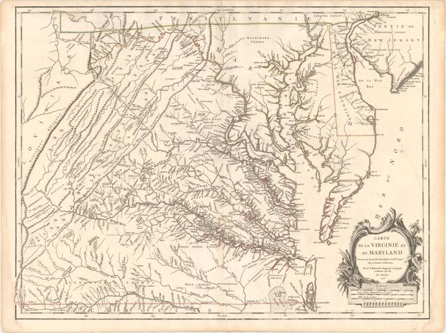
MapMaker: |
Didier Robert de Vaugondy
|
|
| |
| |
Subject: |
Colonial Mid-Atlantic United States |
|
| |
Period/Size: |
1755 / 19.1" x 25.4" (48.6 x 64.6 cm)
|
|
| |
Color: |
Colored
|
|
| |
Condition: |
(A) A crisp impression on watermarked paper with original outline color, faint offsetting, and a couple of minor printer's creases adjacent to centerfold at top and bottom. There are light damp stains in the right and left blank margins, not entering map (condition help) |
|
| |
Source: |
Atlas Universel |
|
| |
References: |
cf. Cumming (SE) #281; Pedley #470; Phillips (M) p. 49; Sellers & Van Ee #1432. |
|
| |
|
|
| Sales Information |
| |
| |
Price: |
|
|
| |
| |
Offered by: |
Old World Auctions |
|
| |
Catalog: |
Auction No. 157 - Antique Maps, Charts, Atlases & Globes (9290) |
|
| |
Lot/Item #: |
194 |
|
| |
| |
Date: |
05/2016
|
|
| |
| |
|