| Item Detail |
| |
| |
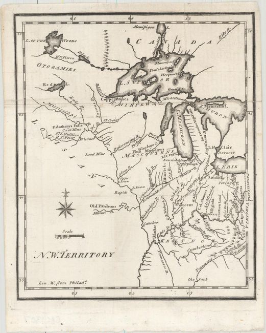
MapMaker: |
Joseph T. Scott
|
|
| |
| |
Subject: |
Central United States, Great Lakes |
|
| |
Period/Size: |
1795 / 7.3" x 6.1" (18.6 x 15.5 cm)
|
|
| |
Color: |
Black & White
|
|
| |
Condition: |
(A) A dark impression, issued folding, with a short fold separation at right that has been repaired on verso with archival materials, and a couple minor extraneous creases. (condition help) |
|
| |
Source: |
The United States Gazetteer |
|
| |
References: |
Karpinski (MI) p. 189; Wheat & Brun #674. |
|
| |
|
|
| Sales Information |
| |
| |
Price: |
|
|
| |
| |
Offered by: |
Old World Auctions |
|
| |
Catalog: |
Auction No. 157 - Antique Maps, Charts, Atlases & Globes (9290) |
|
| |
Lot/Item #: |
225 |
|
| |
| |
Date: |
05/2016
|
|
| |
| |
|