Title:
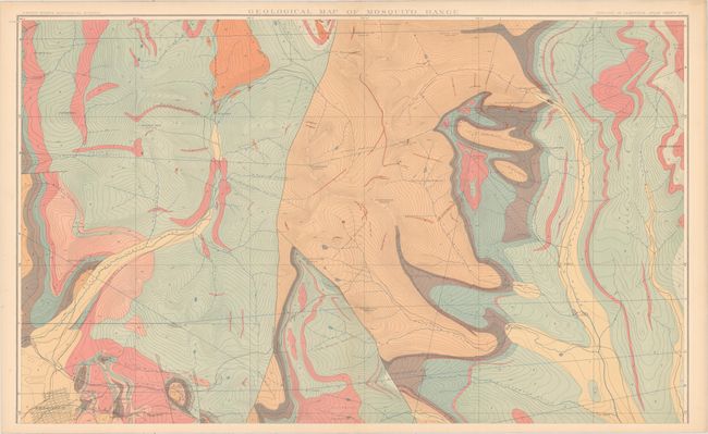
“Atlas to Accompany a Monograph on the Geology and Mining Industry of Leadville Colorado”
Map Maker:
U.S. Geographical Survey
This is the atlas volume to accompany Samuel Frank... (full text available to subscribers)
| Item Detail |
| |
| |
MapMaker: |
U.S. Geographical Survey
|
|
| |
| |
Subject: |
Central Colorado |
|
| |
Period/Size: |
1883 / 22.6" x 18.4" (57.4 x 46.8 cm)
|
|
| |
Color: |
Colored
|
|
| |
Condition: |
(A) Condition code is for the maps which are near fine with pleasant light toning and occasional small chips confined to the right blank margins. The atlas is detached from its original paper wrappers and should be considered a collection of loose maps t (condition help) |
|
| |
Source: |
|
|
| |
References: |
|
|
| |
|
|
| Sales Information |
| |
| |
Price: |
|
|
| |
| |
Offered by: |
Old World Auctions |
|
| |
Catalog: |
Auction No. 157 - Antique Maps, Charts, Atlases & Globes (9290) |
|
| |
Lot/Item #: |
265 |
|
| |
| |
Date: |
05/2016
|
|
| |
| |
|
Antique Maps - Valuation and Pricing, Descriptions, Resources |
|
Home |
Information |
Search |
Register |
Contact Us |
Site Map
Americana Exchange, Inc. © 1999 - 2024 Americana Exchange, Inc.. All rights reserved.
OldMaps.com, the OldMaps.com logo and
AMPR are service marks or registered service marks of Americana Exchange, Inc..
|