| Item Detail |
| |
| |
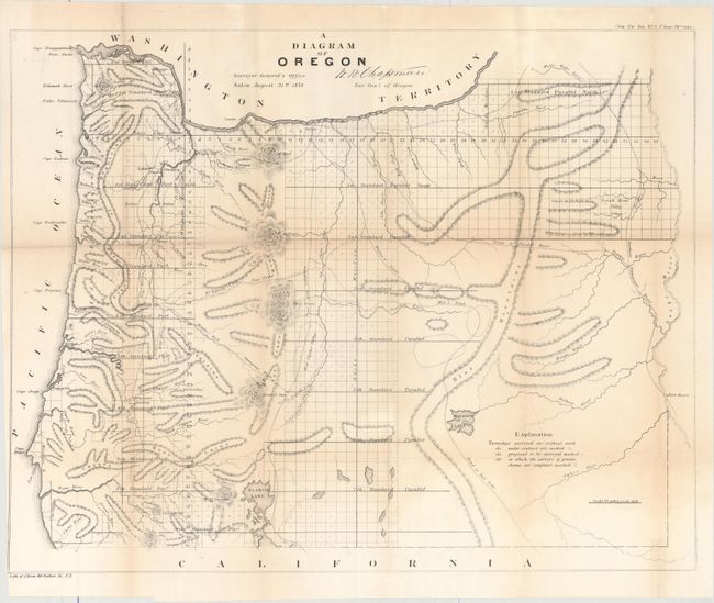
MapMaker: |
General Land Office
|
|
| |
| |
Subject: |
Oregon |
|
| |
Period/Size: |
1859 / 17.4" x 22.1" (44.2 x 56.2 cm)
|
|
| |
Color: |
Black & White
|
|
| |
Condition: |
(B+) Issued folding with light toning along the folds and a number of short fold separations that have been closed with archival tape on verso. The margin has been trimmed to the border at bottom left. (condition help) |
|
| |
Source: |
Senate Doc. 2, 36th Congress, 1st Session |
|
| |
References: |
|
|
| |
|
|
| Sales Information |
| |
| |
Price: |
|
|
| |
| |
Offered by: |
Old World Auctions |
|
| |
Catalog: |
Auction No. 157 - Antique Maps, Charts, Atlases & Globes (9290) |
|
| |
Lot/Item #: |
316 |
|
| |
| |
Date: |
05/2016
|
|
| |
| |
|