| Item Detail |
| |
| |
MapMaker: |
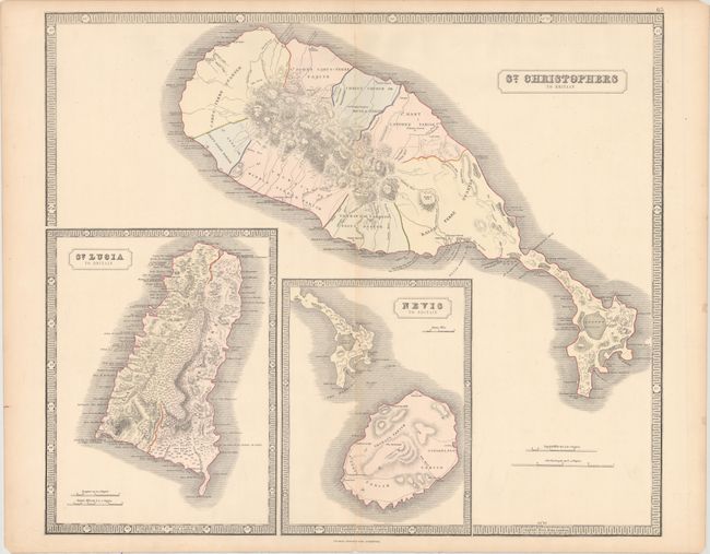
George Philip [& Son]
|
|
| |
| |
Subject: |
St. Kitts, St. Lucia & Nevis |
|
| |
Period/Size: |
1851 / 20.1" x 23.8" (51.1 x 60.5 cm)
|
|
| |
Color: |
Colored
|
|
| |
Condition: |
(B+) A nice impression with full original color, light toning along the edges of the sheet and centerfold, and centerfold separations at top and bottom that have been closed on verso with archival tape. There are a few additional tiny tears and chips alo (condition help) |
|
| |
Source: |
The Philips New General Atlas |
|
| |
References: |
Tooley (MCC-81) St. Kitts #68. |
|
| |
|
|
| Sales Information |
| |
| |
Price: |
|
|
| |
| |
Offered by: |
Old World Auctions |
|
| |
Catalog: |
Auction No. 157 - Antique Maps, Charts, Atlases & Globes (9290) |
|
| |
Lot/Item #: |
391 |
|
| |
| |
Date: |
05/2016
|
|
| |
| |
|