| Item Detail |
| |
| |
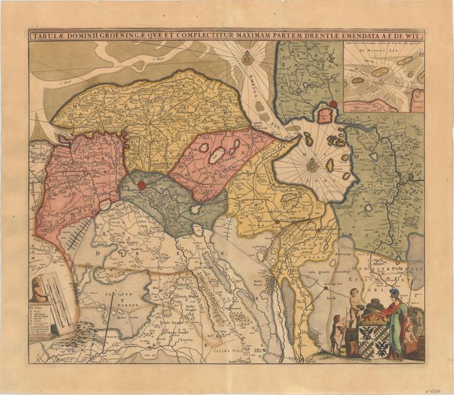
MapMaker: |
Frederick de Wit
|
|
| |
| |
Subject: |
Northern Netherlands, Western Germany |
|
| |
Period/Size: |
1680 / 18.2" x 21.4" (46.3 x 54.4 cm)
|
|
| |
Color: |
Colored
|
|
| |
Condition: |
(B) Original color that has been partially refreshed with light toning. A number of cracks in the image due to the oxidation of green pigment have been professionally repaired on verso. (condition help) |
|
| |
Source: |
|
|
| |
References: |
|
|
| |
|
|
| Sales Information |
| |
| |
Price: |
|
|
| |
| |
Offered by: |
Old World Auctions |
|
| |
Catalog: |
Auction No. 157 - Antique Maps, Charts, Atlases & Globes (9290) |
|
| |
Lot/Item #: |
509 |
|
| |
| |
Date: |
05/2016
|
|
| |
| |
|