| Item Detail |
| |
| |
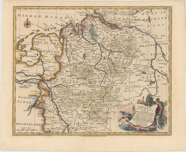
MapMaker: |
Emanuel Bowen
|
|
| |
| |
Subject: |
Northwestern Germany |
|
| |
Period/Size: |
1733 / 13.4" x 16.6" (34.1 x 42.2 cm)
|
|
| |
Color: |
Colored
|
|
| |
Condition: |
(A+) Superb impression and color on watermarked paper with good margins. Issued folding, now pressed. (condition help) |
|
| |
Source: |
Mr. Tindal's Continuation of Mr. Rapin's History of England |
|
| |
References: |
Shirley (BL Altases) G.RAP-2a #9. |
|
| |
|
|
| Sales Information |
| |
| |
Price: |
|
|
| |
| |
Offered by: |
Old World Auctions |
|
| |
Catalog: |
Auction No. 157 - Antique Maps, Charts, Atlases & Globes (9290) |
|
| |
Lot/Item #: |
534 |
|
| |
| |
Date: |
05/2016
|
|
| |
| |
|