| Item Detail |
| |
| |
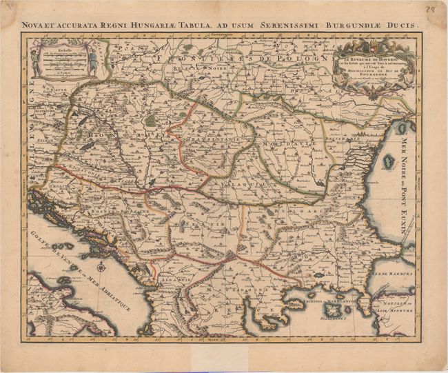
MapMaker: |
Alexis-Hubert Jaillot
|
|
| |
| |
Subject: |
Southeastern Europe, Hungary |
|
| |
Period/Size: |
1696 / 16.8" x 21.6" (42.7 x 54.9 cm)
|
|
| |
Color: |
Colored
|
|
| |
Condition: |
(B+) A fine impression with original outline color in the map and later color in the cartouches. There are a few faint spots, minor offsetting, and a fold separation at bottom that has been closed on both recto and verso with archival materials. There a (condition help) |
|
| |
Source: |
|
|
| |
References: |
|
|
| |
|
|
| Sales Information |
| |
| |
Price: |
|
|
| |
| |
Offered by: |
Old World Auctions |
|
| |
Catalog: |
Auction No. 157 - Antique Maps, Charts, Atlases & Globes (9290) |
|
| |
Lot/Item #: |
555 |
|
| |
| |
Date: |
05/2016
|
|
| |
| |
|