| Item Detail |
| |
| |
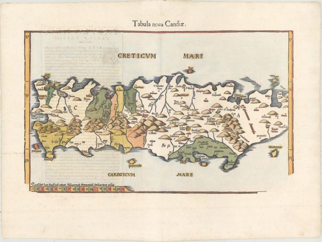
MapMaker: |
Ptolemy/Fries
|
|
| |
| |
Subject: |
Crete |
|
| |
Period/Size: |
1541 / 11.0" x 18.1" (28.0 x 46.0 cm)
|
|
| |
Color: |
Colored
|
|
| |
Condition: |
(A) A dark impression on paper with a bunch of grapes watermark and light show-through of text on verso. Professional repairs to several small holes along the centerfold at top, with a minor amount of title and neatline expertly replaced in facsimile. (condition help) |
|
| |
Source: |
Claudii Ptolemaei Alexandrini Geographicae… |
|
| |
References: |
Mickwitz & Miekkavaara #211-48; Zacharakis #1832. |
|
| |
|
|
| Sales Information |
| |
| |
Price: |
|
|
| |
| |
Offered by: |
Old World Auctions |
|
| |
Catalog: |
Auction No. 157 - Antique Maps, Charts, Atlases & Globes (9290) |
|
| |
Lot/Item #: |
603 |
|
| |
| |
Date: |
05/2016
|
|
| |
| |
|