| Item Detail |
| |
| |
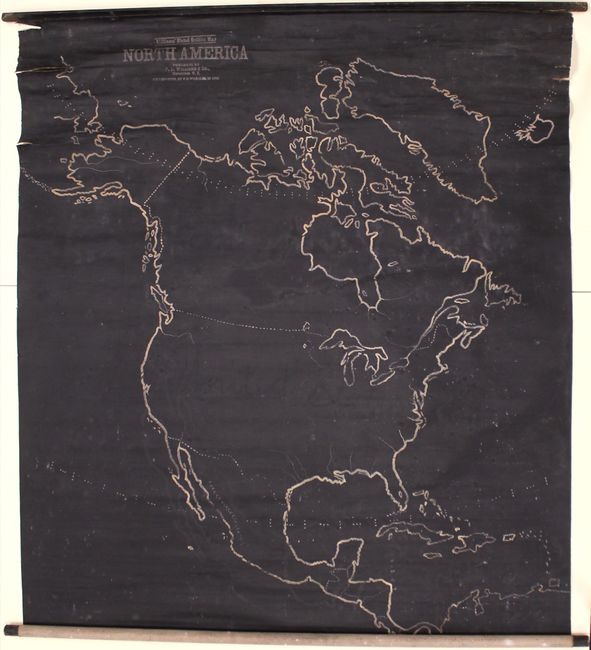
MapMaker: |
Williams
|
|
| |
| |
Subject: |
North America |
|
| |
Period/Size: |
1899 / 47.9" x 43.4" (121.7 x 110.3 cm)
|
|
| |
Color: |
Black & White
|
|
| |
Condition: |
(B) Overall good condition for a working example with some cracking and several edge tears near the top roller with a 4.5" tear at top left just touching the map image. There is a 0.75" x 0.25" hole just to the left of Greenland, minor surface abrasions (condition help) |
|
| |
Source: |
|
|
| |
References: |
|
|
| |
|
|
| Sales Information |
| |
| |
Price: |
|
|
| |
| |
Offered by: |
Old World Auctions |
|
| |
Catalog: |
Auction No. 156 - Antique Maps, Charts, Atlases & Globes (9289) |
|
| |
Lot/Item #: |
99 |
|
| |
| |
Date: |
02/2016
|
|
| |
| |
|