| Item Detail |
| |
| |
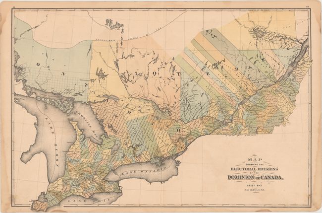
MapMaker: |
H. Parsell & Co.
|
|
| |
| |
Subject: |
Eastern Canada |
|
| |
Period/Size: |
1881 / 16.9" x 24.9" (43.0 x 63.3 cm)
|
|
| |
Color: |
Colored
|
|
| |
Condition: |
(B+) Minor soiling with several damp stains along the edges of the sheet, just entering the map border in a few spots. A 1" tear and a 2" centerfold separation at bottom have been closed on verso with archival tape. (condition help) |
|
| |
Source: |
Dominion of Canada Atlas |
|
| |
References: |
|
|
| |
|
|
| Sales Information |
| |
| |
Price: |
|
|
| |
| |
Offered by: |
Old World Auctions |
|
| |
Catalog: |
Auction No. 156 - Antique Maps, Charts, Atlases & Globes (9289) |
|
| |
Lot/Item #: |
112 |
|
| |
| |
Date: |
02/2016
|
|
| |
| |
|