| Item Detail |
| |
| |
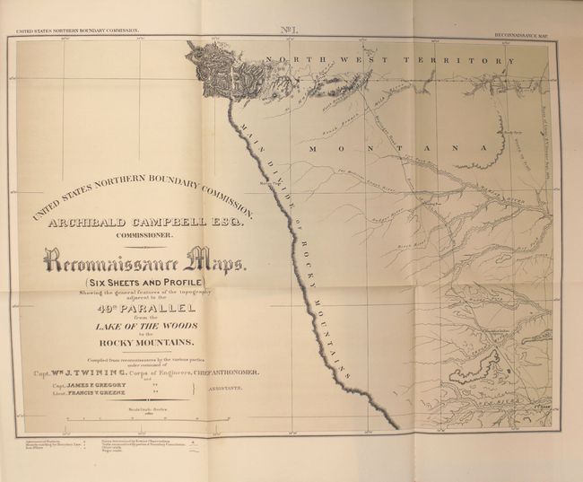
MapMaker: |
William Johnson Twining
|
|
| |
| |
Subject: |
Books with maps, Canada & United States, Boundary Surveys |
|
| |
Period/Size: |
1878 / 12.1" x 9.8" (30.8 x 24.9 cm)
|
|
| |
Color: |
Black & White
|
|
| |
Condition: |
(B+) The large folding maps at the back of the report are very good to near fine with just a few spots of foxing along one fold on two of the maps. The text has light, uniform toning and the lithographic plates have scattered foxing primarily in the blan (condition help) |
|
| |
Source: |
44th Congress, 2nd Session, Sen. Ex. Doc. 41 |
|
| |
References: |
Wheat (TMW) #1289. |
|
| |
|
|
| Sales Information |
| |
| |
Price: |
|
|
| |
| |
Offered by: |
Old World Auctions |
|
| |
Catalog: |
Auction No. 156 - Antique Maps, Charts, Atlases & Globes (9289) |
|
| |
Lot/Item #: |
120 |
|
| |
| |
Date: |
02/2016
|
|
| |
| |
|