| Item Detail |
| |
| |
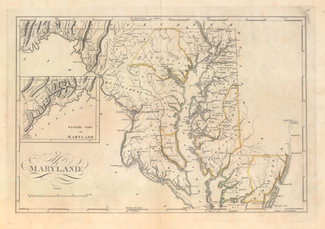
MapMaker: |
Mathew Carey
|
|
| |
| |
Subject: |
Maryland |
|
| |
Period/Size: |
1814 / 11.3" x 16.6" (28.7 x 42.2 cm)
|
|
| |
Color: |
Colored
|
|
| |
Condition: |
(B+) Original outline color and wide margins with light printer's ink residue, a faint damp stain along the centerfold at bottom, and archivally repaired centerfold separations confined to the top and bottom blank margins. There are scattered mildew stai (condition help) |
|
| |
Source: |
General Atlas, Improved and Enlarged |
|
| |
References: |
Phillips (Atlases) #722-16. |
|
| |
|
|
| Sales Information |
| |
| |
Price: |
|
|
| |
| |
Offered by: |
Old World Auctions |
|
| |
Catalog: |
Auction No. 156 - Antique Maps, Charts, Atlases & Globes (9289) |
|
| |
Lot/Item #: |
272 |
|
| |
| |
Date: |
02/2016
|
|
| |
| |
|