| Item Detail |
| |
| |
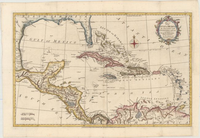
MapMaker: |
Thomas Kitchin
|
|
| |
| |
Subject: |
Gulf of Mexico & Caribbean |
|
| |
Period/Size: |
1795 / 12.5" x 19.5" (31.8 x 49.6 cm)
|
|
| |
Color: |
Colored
|
|
| |
Condition: |
(B+) Issued folding, now flattened, on paper with an "1802" watermark. A crisp impression with attractive color, light offsetting, and an archivally repaired hole in an unengraved area below title cartouche. A binding trim at bottom right has been repla (condition help) |
|
| |
Source: |
Robertson's History of America |
|
| |
References: |
Howes #R358. |
|
| |
|
|
| Sales Information |
| |
| |
Price: |
|
|
| |
| |
Offered by: |
Old World Auctions |
|
| |
Catalog: |
Auction No. 156 - Antique Maps, Charts, Atlases & Globes (9289) |
|
| |
Lot/Item #: |
357 |
|
| |
| |
Date: |
02/2016
|
|
| |
| |
|