Title:
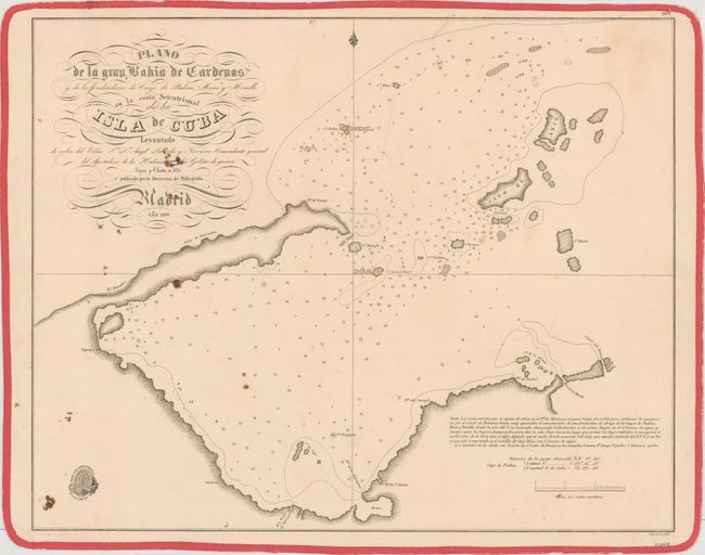
“Plano de la Gran Bahia de Cardenas y de los Fondeaderos de Cayo de Piedras, Mono y Monillo en la Costa Setentrional de la Isla de Cuba...”
Map Maker:
Direccion de Hidrografia
This detailed chart depicts the Bay of Cardenas, a... (full text available to subscribers)
| Item Detail |
| |
| |
MapMaker: |
Direccion de Hidrografia
|
|
| |
| |
Subject: |
Western Cuba |
|
| |
Period/Size: |
1836 / 17.2" x 21.4" (43.7 x 54.4 cm)
|
|
| |
Color: |
Black & White
|
|
| |
Condition: |
(B) There are several small brown stains in the left portion of the image resulting in two small holes - one in the title and another in a blank space to the left of the Direccion Hidrografica seal. (condition help) |
|
| |
Source: |
|
|
| |
References: |
Cueto #252. |
|
| |
|
|
| Sales Information |
| |
| |
Price: |
|
|
| |
| |
Offered by: |
Old World Auctions |
|
| |
Catalog: |
Auction No. 156 - Antique Maps, Charts, Atlases & Globes (9289) |
|
| |
Lot/Item #: |
367 |
|
| |
| |
Date: |
02/2016
|
|
| |
| |
|
Antique Maps - Valuation and Pricing, Descriptions, Resources |
|
Home |
Information |
Search |
Register |
Contact Us |
Site Map
Americana Exchange, Inc. © 1999 - 2024 Americana Exchange, Inc.. All rights reserved.
OldMaps.com, the OldMaps.com logo and
AMPR are service marks or registered service marks of Americana Exchange, Inc..
|