| Item Detail |
| |
| |
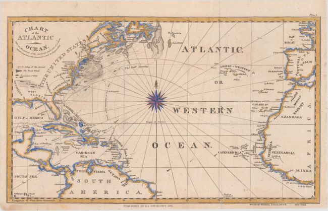
MapMaker: |
Blunt [Family]
|
|
| |
| |
Subject: |
North Atlantic |
|
| |
Period/Size: |
1831 / 7.4" x 12.4" (18.8 x 31.5 cm)
|
|
| |
Color: |
Colored
|
|
| |
Condition: |
(B+) Issued folding, now pressed flat, with a few abrasions, two of which have been reinforced on verso with archival tape, some extraneous creases, and a few short fold separations in the bottom blank margins that have been repaired on verso with archiva (condition help) |
|
| |
Source: |
The American Coast Pilot |
|
| |
References: |
|
|
| |
|
|
| Sales Information |
| |
| |
Price: |
|
|
| |
| |
Offered by: |
Old World Auctions |
|
| |
Catalog: |
Auction No. 156 - Antique Maps, Charts, Atlases & Globes (9289) |
|
| |
Lot/Item #: |
416 |
|
| |
| |
Date: |
02/2016
|
|
| |
| |
|