Title:
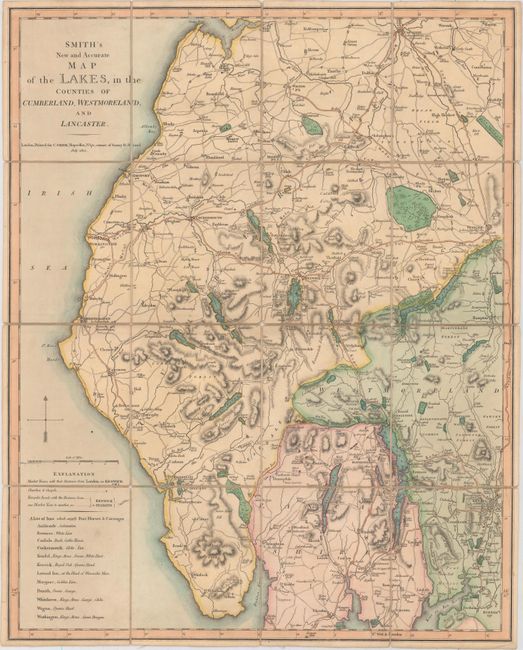
“Smith's New and Accurate Map of the Lakes, in the Counties of Cumberland, Westmoreland, and Lancaster”
Map Maker:
Charles Smith
This handsome folding map extends from St. Bees He... (full text available to subscribers)
| Item Detail |
| |
| |
MapMaker: |
Charles Smith
|
|
| |
| |
Subject: |
Northwestern England |
|
| |
Period/Size: |
1802 / 23.6" x 18.9" (60.0 x 48.0 cm)
|
|
| |
Color: |
Colored
|
|
| |
Condition: |
(A) Original color with minor toning and some short fold separations in the linen. (condition help) |
|
| |
Source: |
|
|
| |
References: |
|
|
| |
|
|
| Sales Information |
| |
| |
Price: |
|
|
| |
| |
Offered by: |
Old World Auctions |
|
| |
Catalog: |
Auction No. 156 - Antique Maps, Charts, Atlases & Globes (9289) |
|
| |
Lot/Item #: |
433 |
|
| |
| |
Date: |
02/2016
|
|
| |
| |
|
Antique Maps - Valuation and Pricing, Descriptions, Resources |
|
Home |
Information |
Search |
Register |
Contact Us |
Site Map
Americana Exchange, Inc. © 1999 - 2024 Americana Exchange, Inc.. All rights reserved.
OldMaps.com, the OldMaps.com logo and
AMPR are service marks or registered service marks of Americana Exchange, Inc..
|