| Item Detail |
| |
| |
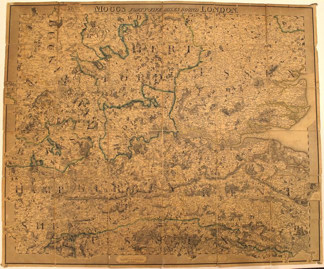
MapMaker: |
Edward Mogg
|
|
| |
| |
Subject: |
Southern England |
|
| |
Period/Size: |
1827 / 38.6" x 46.1" (98.1 x 117.1 cm)
|
|
| |
Color: |
Colored
|
|
| |
Condition: |
(B) Issued folding with overall toning, short fold separations in the linen, some tiny chips and tears to the map itself, and some white paint splattering at top. The slipcase is worn with one edge completely separated. (condition help) |
|
| |
Source: |
|
|
| |
References: |
|
|
| |
|
|
| Sales Information |
| |
| |
Price: |
|
|
| |
| |
Offered by: |
Old World Auctions |
|
| |
Catalog: |
Auction No. 156 - Antique Maps, Charts, Atlases & Globes (9289) |
|
| |
Lot/Item #: |
435 |
|
| |
| |
Date: |
02/2016
|
|
| |
| |
|