| Item Detail |
| |
| |
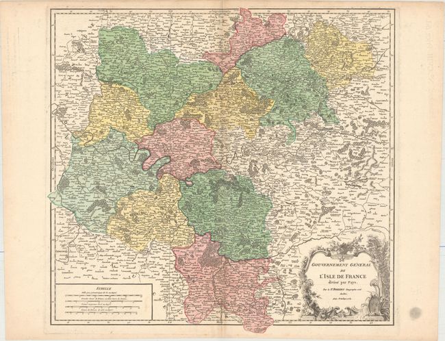
MapMaker: |
Gilles Robert de Vaugondy
|
|
| |
| |
Subject: |
Northern France |
|
| |
Period/Size: |
1754 / 19.5" x 20.6" (49.6 x 52.4 cm)
|
|
| |
Color: |
Colored
|
|
| |
Condition: |
(A) A crisp impression on watermarked paper with a hint of toning along the centerfold, marginal soiling, and a centerfold separation confined to the bottom blank margin. (condition help) |
|
| |
Source: |
Atlas Universel |
|
| |
References: |
Pedley #113. |
|
| |
|
|
| Sales Information |
| |
| |
Price: |
|
|
| |
| |
Offered by: |
Old World Auctions |
|
| |
Catalog: |
Auction No. 156 - Antique Maps, Charts, Atlases & Globes (9289) |
|
| |
Lot/Item #: |
483 |
|
| |
| |
Date: |
02/2016
|
|
| |
| |
|