| Item Detail |
| |
| |
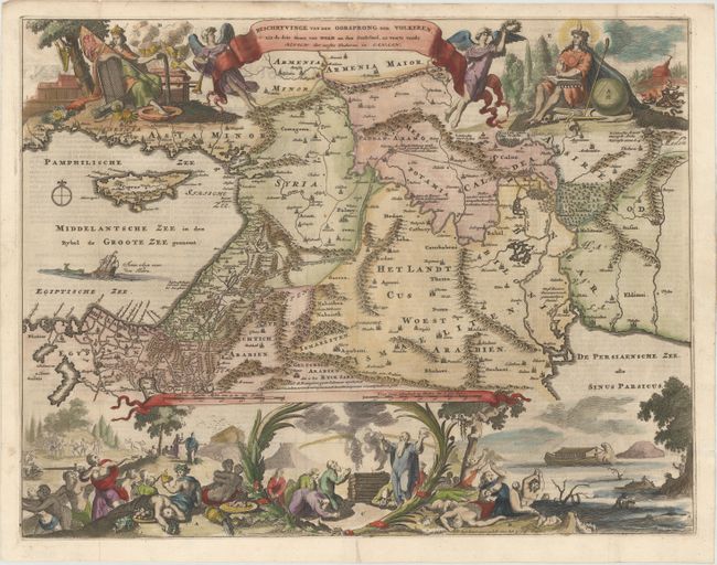
MapMaker: |
Romain de Hooghe
|
|
| |
| |
Subject: |
Middle East |
|
| |
Period/Size: |
1687 / 14.1" x 18.3" (35.9 x 46.5 cm)
|
|
| |
Color: |
Colored
|
|
| |
Condition: |
(B+) Issued folding, now pressed, with minor soiling. There are professional repairs to several tiny fold separations, a hole at a fold intersection and at the southern tip of Cyprus, and a few small chips and tears along the top edge of the sheet. (condition help) |
|
| |
Source: |
|
|
| |
References: |
Poortman & Augusteijn #149. |
|
| |
|
|
| Sales Information |
| |
| |
Price: |
|
|
| |
| |
Offered by: |
Old World Auctions |
|
| |
Catalog: |
Auction No. 156 - Antique Maps, Charts, Atlases & Globes (9289) |
|
| |
Lot/Item #: |
602 |
|
| |
| |
Date: |
02/2016
|
|
| |
| |
|