| Item Detail |
| |
| |
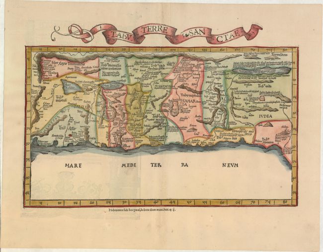
MapMaker: |
Ptolemy/Fries
|
|
| |
| |
Subject: |
Holy Land |
|
| |
Period/Size: |
1525 / 9.6" x 16.5" (24.4 x 42.0 cm)
|
|
| |
Color: |
Colored
|
|
| |
Condition: |
(A) A nice impression on watermarked paper with light show-through of illustrations on verso and a hint of toning along centerfold. (condition help) |
|
| |
Source: |
Claudii Ptolemaei Geographicae… |
|
| |
References: |
cf. Laor #612; Mickwitz & Miekkavaara (Nordenskiold) Vol. II #208-41. |
|
| |
|
|
| Sales Information |
| |
| |
Price: |
|
|
| |
| |
Offered by: |
Old World Auctions |
|
| |
Catalog: |
Auction No. 156 - Antique Maps, Charts, Atlases & Globes (9289) |
|
| |
Lot/Item #: |
615 |
|
| |
| |
Date: |
02/2016
|
|
| |
| |
|