| Item Detail |
| |
| |
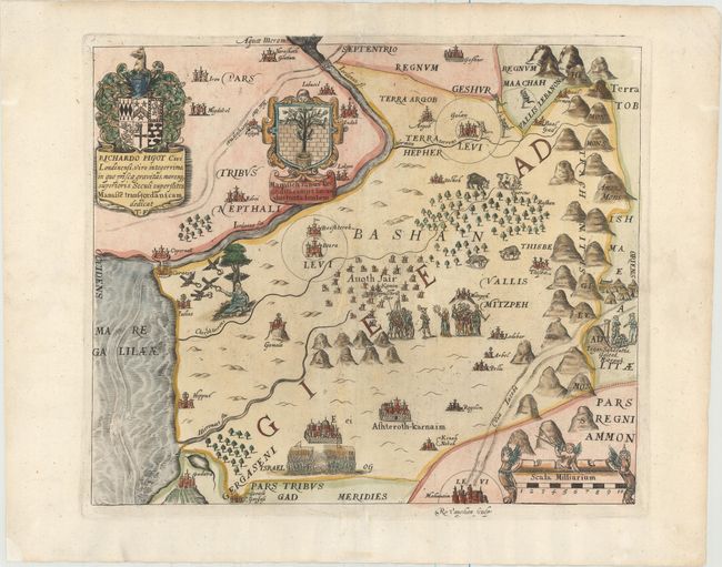
MapMaker: |
Thomas Fuller
|
|
| |
| |
Subject: |
Holy Land |
|
| |
Period/Size: |
1650 / 11.0" x 12.9" (28.0 x 32.8 cm)
|
|
| |
Color: |
Colored
|
|
| |
Condition: |
(A) A nice impression on watermarked paper with wide margins and attractive color. There are professional repairs to several short separations along the centerfold and small worm tracks, with a minute amount of image replaced in facsimile. (condition help) |
|
| |
Source: |
A Pisgah-Sight of Palestine |
|
| |
References: |
Laor #282; Nebenzahl (HL) p.128-131, #5; Shirley (BL Atlases) G.FULL-1a #4. |
|
| |
|
|
| Sales Information |
| |
| |
Price: |
|
|
| |
| |
Offered by: |
Old World Auctions |
|
| |
Catalog: |
Auction No. 156 - Antique Maps, Charts, Atlases & Globes (9289) |
|
| |
Lot/Item #: |
619 |
|
| |
| |
Date: |
02/2016
|
|
| |
| |
|