| Item Detail |
| |
| |
MapMaker: |
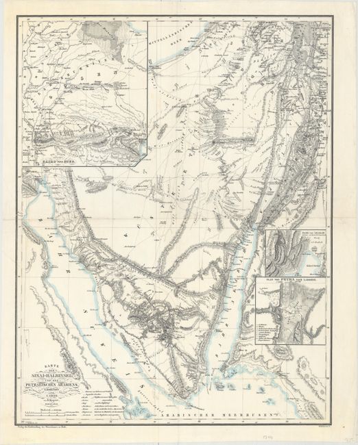
Heinrich C. Kiepert
|
|
| |
| |
Subject: |
Sinai Peninsula, Egypt |
|
| |
Period/Size: |
1840 / 21.6" x 16.8" (54.9 x 42.7 cm)
|
|
| |
Color: |
Colored
|
|
| |
Condition: |
(B+) A clean sheet, issued folding and now flattened. There are short fold separations at left and right and an associated 1.5" tear adjacent to the fold which have all been repaired on verso with archival material. (condition help) |
|
| |
Source: |
|
|
| |
References: |
|
|
| |
|
|
| Sales Information |
| |
| |
Price: |
|
|
| |
| |
Offered by: |
Old World Auctions |
|
| |
Catalog: |
Auction No. 156 - Antique Maps, Charts, Atlases & Globes (9289) |
|
| |
Lot/Item #: |
749 |
|
| |
| |
Date: |
02/2016
|
|
| |
| |
|