| Item Detail |
| |
| |
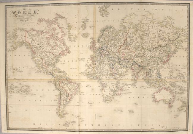
MapMaker: |
James Wyld
|
|
| |
| |
Subject: |
World |
|
| |
Period/Size: |
1845 / 25.1" x 36.5" (63.8 x 92.8 cm)
|
|
| |
Color: |
Colored
|
|
| |
Condition: |
(B) Original outline color, issued folding on heavy paper with moderate offsetting, minor scattered foxing, and light soiling. We've included both a photograph and a scan of this map, with the photograph being the first image. Due to the map being folde (condition help) |
|
| |
Source: |
A New General Atlas of Modern Geography |
|
| |
References: |
|
|
| |
|
|
| Sales Information |
| |
| |
Price: |
|
|
| |
| |
Offered by: |
Old World Auctions |
|
| |
Catalog: |
Auction No. 158 - Antique Maps, Charts, Atlases & Globes (9323) |
|
| |
Lot/Item #: |
35 |
|
| |
| |
Date: |
06/2016
|
|
| |
| |
|