| Item Detail |
| |
| |
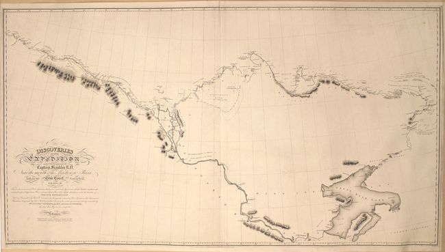
MapMaker: |
John Franklin
|
|
| |
| |
Subject: |
Northern Canada, Arctic Regions |
|
| |
Period/Size: |
1828 / 27.6" x 50.8" (70.1 x 129.1 cm)
|
|
| |
Color: |
Black & White
|
|
| |
Condition: |
(B+) A clean and bright example issued folding and now flattened and backed with linen. The margins have been trimmed on three of the four sides, which is only narrow in the lower left corner. (condition help) |
|
| |
Source: |
Narrative of a Second Expedition to the Shores of the Polar Sea … |
|
| |
References: |
|
|
| |
|
|
| Sales Information |
| |
| |
Price: |
|
|
| |
| |
Offered by: |
Old World Auctions |
|
| |
Catalog: |
Auction No. 158 - Antique Maps, Charts, Atlases & Globes (9323) |
|
| |
Lot/Item #: |
73 |
|
| |
| |
Date: |
06/2016
|
|
| |
| |
|