| Item Detail |
| |
| |
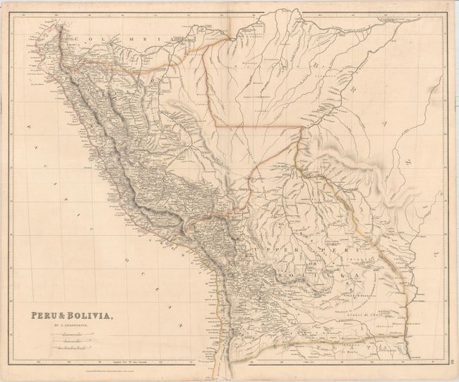
MapMaker: |
John Arrowsmith
|
|
| |
| |
Subject: |
Western South America |
|
| |
Period/Size: |
1834 / 20.0" x 23.6" (50.8 x 60.0 cm)
|
|
| |
Color: |
Colored
|
|
| |
Condition: |
(B+) Original outline color with a short centerfold separation at bottom, minor offsetting, and light soiling that is largely confined to the blank margins. (condition help) |
|
| |
Source: |
The London Atlas of Universal Geography... |
|
| |
References: |
|
|
| |
|
|
| Sales Information |
| |
| |
Price: |
|
|
| |
| |
Offered by: |
Old World Auctions |
|
| |
Catalog: |
Auction No. 158 - Antique Maps, Charts, Atlases & Globes (9323) |
|
| |
Lot/Item #: |
196 |
|
| |
| |
Date: |
06/2016
|
|
| |
| |
|